
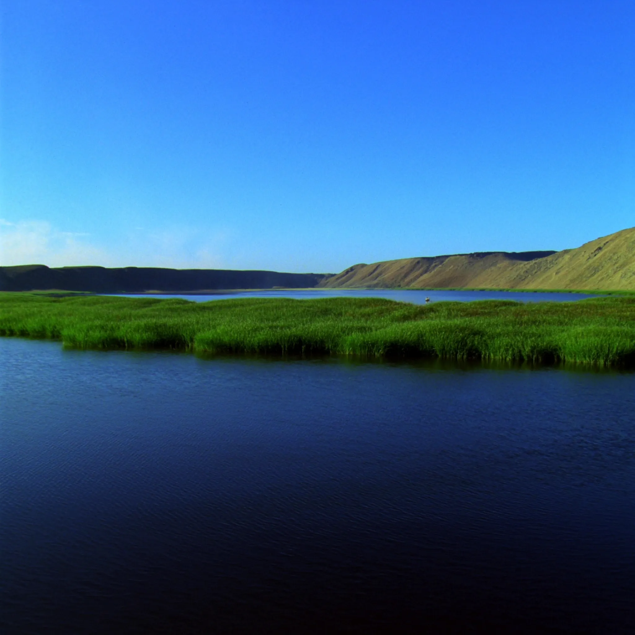
A bass angler can idle across Clear Lake and see only the morning surface: tule edges, docks, wind lanes, bait dimples, and the dark shoulder of Mount Konocti watching over the basin. But under that water is a story older than any shoreline town, any dock, any tournament, and any fishing report. Clear Lake is not just a place where bass live. It is a basin that has been held open by fault movement, volcanic activity, erosion, deposition, and a remarkable balance between sinking land and accumulating sediment.
That long geologic story matters because it explains the lake we fish today. Clear Lake has stayed shallow, productive, and alive for hundreds of thousands of years. Its arms, narrows, marshes, and shorelines are not random features on a map. They are the visible result of deep forces working slowly beneath Lake County.
A Basin Built Over One to Two Million Years
The Clear Lake Basin was shaped by a combination of processes over roughly the last one to two million years. Scientists have recovered a nearly continuous sequence of lake sediments dating back about 475,000 years. Other lake sediments in the region date even farther back, to the Early Pleistocene, approximately 1.6 to 1.8 million years ago.
For anyone who thinks of a lake as something temporary, that is a staggering timeline. Many lakes fill in, drain, or disappear over geologic time. Clear Lake persisted because the basin kept subsiding while sediment kept washing in. The land moved downward at roughly the same pace that material accumulated on the lake bottom.
The average sedimentation rate in the lake basin is about 1/25 inch per year. That sounds tiny until it is stretched across hundreds of thousands of years. The key is that downward vertical movement in the basin has been approximately equal to that sedimentation rate. If those two rates had been far out of balance, Clear Lake would have become something very different. Faster subsidence could have produced a deeper lake. Faster filling could have created a valley. Instead, the upper basin held a shallow lake for at least the last 475,000 years.
What the Sediment Cores Tell Us
Lake sediments act like pages in a natural history book. Layer by layer, they preserve evidence of climate, vegetation, water conditions, and biological productivity. Clear Lake’s sediment cores hold an excellent climate record for the last 127,000 years.
One of the most important changes recorded in those cores came at the end of the Pleistocene Glacial Period about 10,000 years ago. The record documents a shift from pine-dominated forests to oak-dominated forests. That change points toward warming conditions as the glacial period ended and the modern climate pattern began taking shape.
The diatom sequence in the cores adds another important clue. Diatoms are microscopic algae with silica shells, and their remains can tell scientists a lot about past lake conditions. The Clear Lake diatom record indicates that the lake has been a shallow, productive system, essentially similar to the modern lake, since the end of the Pleistocene Period.
That is one reason Clear Lake is such a special bass fishery. Its productivity is not a new accident. The lake’s shallow, nutrient-rich character has deep roots. The same general type of system that supports weeds, baitfish, invertebrates, birds, and bass today has been part of the lake’s identity for a very long time.
Faults, Volcanoes, and the Making of the Lake
The basin was created primarily by three forces working together: stresses from the San Andreas Fault System, eruption and subsidence connected to the Clear Lake Volcanics, and erosion and deposition of parent rock.
The east-west extension of the fault system and vertical movement along faults created and maintained the basin. At the same time, volcanic activity changed the land around the lake. The Clear Lake Volcanics did not simply add dramatic scenery. They helped shape the basin, influence shoreline form, and contribute to the downshifting that made parts of the lake possible.
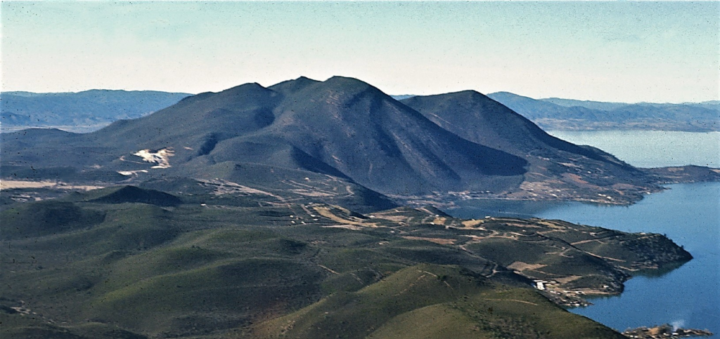
Mount Konocti is the landmark most people recognize, but the volcanic story is broader than one mountain. The Lower Arm, Oaks Arm, and Narrows area were influenced by a mix of faulting, subsidence, lava flows, and possibly caldera formation. Springs on the lake bottom have helped support the theory that collapsed volcanic features formed significant portions of those areas.
The Arms Were Not Always the Same Lake We Know Today
Clear Lake has changed shape significantly over time, even though it has generally remained in the same broad area as the existing Upper Arm. The Upper Arm appears to be the long-term anchor of the lake. The Lower and Oaks Arms have a different story.
The Lower Arm was a shallow marsh from about 9,500 to 40,000 years ago. The Oaks Arm was probably less than 6.5 feet deep from about 11,000 to 36,000 years ago. Those numbers help explain why each arm can feel different on the water. The lake’s arms are not just names on a fishing map. They are geologic chapters.
The downshifting of the lake bottoms in the Lower and Oaks Arms is likely the result of both faulting and volcanic activity. Lava flows also changed shoreline shape in the Narrows and in the Lower and Oaks Arms. For anglers, that means the lake’s structure is tied directly to its geologic past: constrictions, flats, marshy margins, hard edges, and unusual basin shapes all came from forces far older than modern fishing pressure.
A Lake Between Two Drainage Worlds
Clear Lake sits on a topographic divide between the Russian River system to the west and the Sacramento Valley to the east. Its drainage history has changed more than once. The lake initially drained to the Sacramento River, then into the Russian River, and currently drains into the Sacramento River again.
Those changes are thought to be primarily related to faulting in the Coast Mountain Range, though other events also played a role. One striking example happened about 10,000 years ago, when the basin’s outlet to the Russian River was blocked by a landslide immediately west of Blue Lakes. Blue Lakes now exists in that flooded outlet canyon.
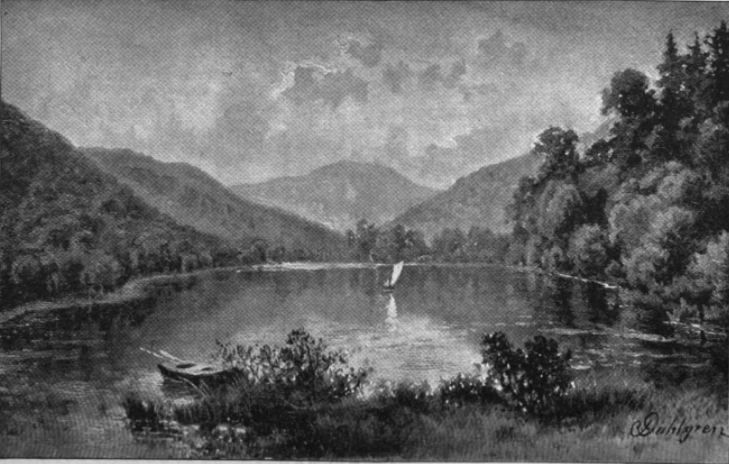
That detail makes Blue Lakes more than a pretty side trip in Lake County. It is part of Clear Lake’s drainage story. The landscape still carries evidence of the routes water once took and the barriers that changed where the lake could drain.
Grigsby Riffle and the Natural Lake Level
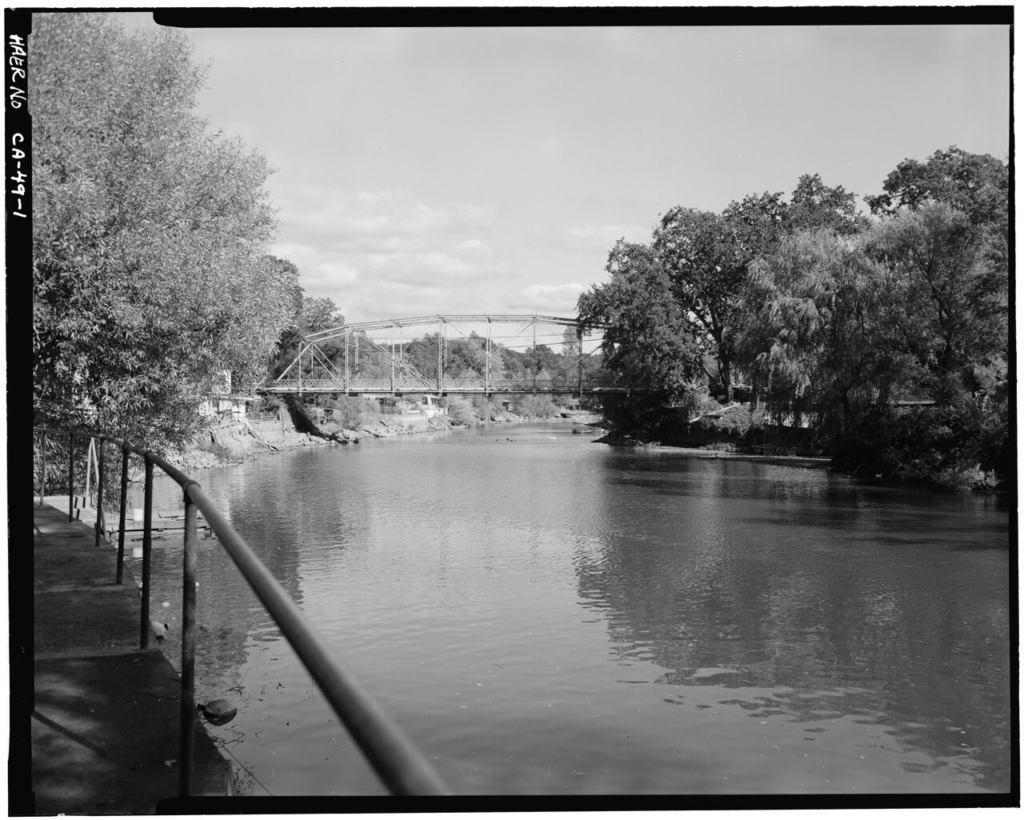
The natural level of Clear Lake has historically been maintained by the Grigsby Riffle. The Riffle is a rock sill located at the confluence of Cache and Seigler Creeks near Lower Lake. In plain terms, it acted like a natural control point for the lake’s outlet.
After a significant flood in 1938, the Riffle was excavated to an average depth of 2.3 feet Rumsey. Further excavation was stopped by the courts and is now prohibited by the Bemmerly Decree of 1940. That legal protection matters because altering the Riffle would alter the natural control that helps define the lake’s level.
Cache Creek Dam and the Court Decrees
In 1914, Cache Creek Dam became operational about three miles downstream of the Riffle. Since then, the dam has regulated Clear Lake’s level. Its operation is controlled by court decrees that try to balance competing needs: storing water for downstream supply, supporting recreation, and reducing local flooding.
The Gopcevic Decree of 1920 regulates winter water levels. It sets a lake stage below which water may not be released and above which water must be released to reduce flooding. But the Cache Creek channel has limited discharge capacity, which means it is physically impossible to prevent flooding during extended periods of heavy rainfall.
The flood history shows how difficult that balance is. Before the dam was constructed, the highest recorded lake level was 13.66 feet Rumsey in 1890. Between 1874 and 1914, the lake exceeded 10 feet Rumsey nine times. After the dam was constructed in 1914, the highest recorded lake level was 11.44 feet Rumsey in 1998, and the lake has still exceeded 10 feet Rumsey nine times.
The Solano Decree regulates summer water levels by establishing allowable releases based on the spring lake level. If Clear Lake equals or exceeds 7.56 feet Rumsey on May 1, up to 150,000 acre-feet of water may be released through the dam. If the lake does not rise above 3.22 feet Rumsey on May 1, then no water may be released.
Why This History Matters to Anglers
For bass fishermen, Clear Lake’s history is not just background trivia. It explains why the lake fishes the way it does. A shallow, productive basin warms, grows vegetation, supports bait, and creates seasonal habitat shifts. Faulting and volcanic activity helped shape arms and narrows. Sediment and subsidence helped maintain the shallow-water character. Drainage changes and lake-level controls still influence shoreline cover, access, spawning areas, and tule edges.
When you fish Clear Lake, you are fishing more than a famous bass lake. You are fishing a living geologic system that has stayed productive through climate shifts, volcanic change, drainage reversals, floods, decrees, and modern water management. The same forces that built the basin still shape the decisions anglers make today: where to launch, where wind stacks bait, how water level changes cover, and why one arm can feel different from another.
A Lake With Deep Time Under the Surface
Clear Lake has always been more than its surface. Beneath every tule line and rocky bank is a long record of climate, sediment, fault movement, volcanic shaping, and human attempts to manage water. That is what makes the lake special. It is ancient, productive, restless, and still changing.
The next time you look across the Upper Arm toward Mount Konocti, remember that the lake below you has been holding its place for hundreds of thousands of years. The bass live in today’s water, but the lake they depend on was built by deep time.
Key Takeaways
- Clear Lake sediment cores provide a nearly continuous lake record dating back about 475,000 years.
- Regional sediments indicate lake history in the area may reach into the Early Pleistocene, about 1.6 to 1.8 million years ago.
- The lake stayed shallow because basin subsidence and sedimentation have been roughly balanced.
- Faulting, Clear Lake Volcanics, erosion, and deposition all helped create and maintain the basin.
- The Lower and Oaks Arms were shaped by faulting, subsidence, marsh history, volcanic activity, and lava flows.
- Grigsby Riffle, Cache Creek Dam, and the Bemmerly, Gopcevic, and Solano decrees remain central to lake-level history.
Source note: This article is based on the Clear Lake history and decree information provided for ClearLakeBassPro, rewritten for anglers and visitors.