
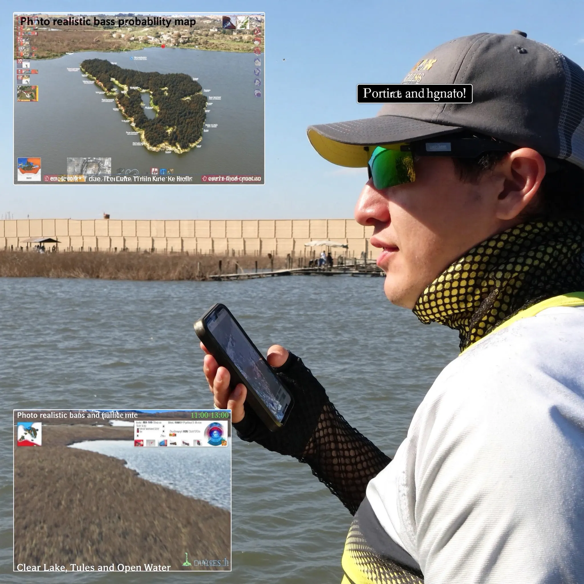
Bass Probability Map
A public Clear Lake bass zone map with 50% probability overlays, zone notes, baits, and trip-planning calls to action.
Apex score
The score now pulls from free public sources and clearly labels missing or stale inputs.
Today’s Clear Lake Bass Probability Score
Know the best arm before you launch.
South lake: Rattlesnake arm rock piles, Keys deep docks, steep rocky banks, Cache Creek, and shad balls — especially when rain muddies the north bowl.
Bite windows
Timing is built from sunrise/sunset, wind, cloud cover, heat, and moon phase.
Start shallow around tules, outside grass edges, shade lanes, and clearer pockets before boat traffic and sun pressure build.
Move to dock shade, deeper tule edges, rock/dock transitions, and outside weed edges. Slow down if wind dies.
Look for windblown points, shade lines, and bait activity. Reaction baits improve if wind holds.
Patterns & lures
Recommended baits update from wind, heat, cloud cover, water temperature context, and algae/HAB risk.
Wind is strong enough to break up the surface and help reaction bites on grass edges and windblown banks.
Good search tools around rock, outside grass, and dock transitions when fish are active.
Low light/cloud cover keeps shallow fish more willing to look up early and late.
Water temperature is in a workable bass-feeding band for rock, tule edges, and transitions.
HAB caution favors cleaner water, wind-mixed banks, shade, and deeper edges over stagnant shallow mats.
Zone scores
Each arm is scored separately before the best arm is selected and colored on the probability map.
Conditional / lower confidence
North bowl targeting from JD Blackmore: Lakeport docks, Nice/Lucerne docks and trees, Rodman Slough, tules/brush, and creek mouths can play when the water is not blown out. After rain, downgrade muddy runoff and hunt clearer pockets.
Playable secondary pattern
Mid-lake/Oaks targeting from JD Blackmore: the transition near Soda Bay and Buckingham starts the steeper, rockier water with more depth under docks. Prioritize clear water, dock shade, rock/dock transitions, and shad moving past deeper docks.
Best current public-data read
South/Highlands targeting from JD Blackmore: Rattlesnake arm rock piles, the Keys, deep docks, steep rocky banks, Cache Creek, and shad balls are priority targets, especially in winter or after rain when clearer water may hold south/mid-lake.
Why this score?
The model explains the major boosts, caps, and confidence penalties instead of hiding the logic.
- Wind is in a good target range for reaction bites and windblown banks.
- USGS lake level / Rumsey-style gauge is connected and factored into accessibility and shallow-cover confidence.
- Latest public HAB record says Caution, so stagnant shallow-water confidence is capped.
- Water temperature feed is stale, so seasonal phase is used as context rather than a hard live reading.
- Moon phase is included for bite-window timing, but it is a smaller factor than wind, water, and algae risk.
- Highlands Arm is currently ranked highest after comparing heat, wind, algae/DO risk, and seasonal zone patterns.
Live public inputs
- USGS water temperature reading is older than 7 days; showing it as context, not live lake truth.
- USGS dissolved oxygen reading is older than 7 days; manual algae/low-DO verification still recommended.
- Latest selected HAB record is older than 14 days; check current shoreline conditions before fishing or swimming.
Free data sources checked
Water temp / DO / pH loaded if station is current
View source